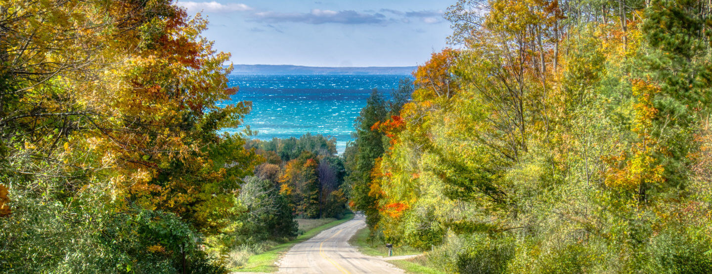
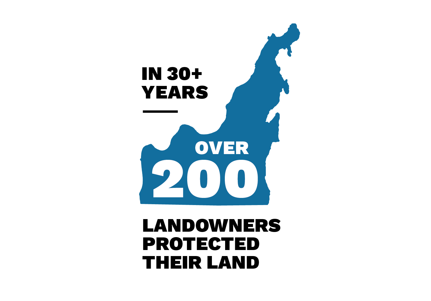
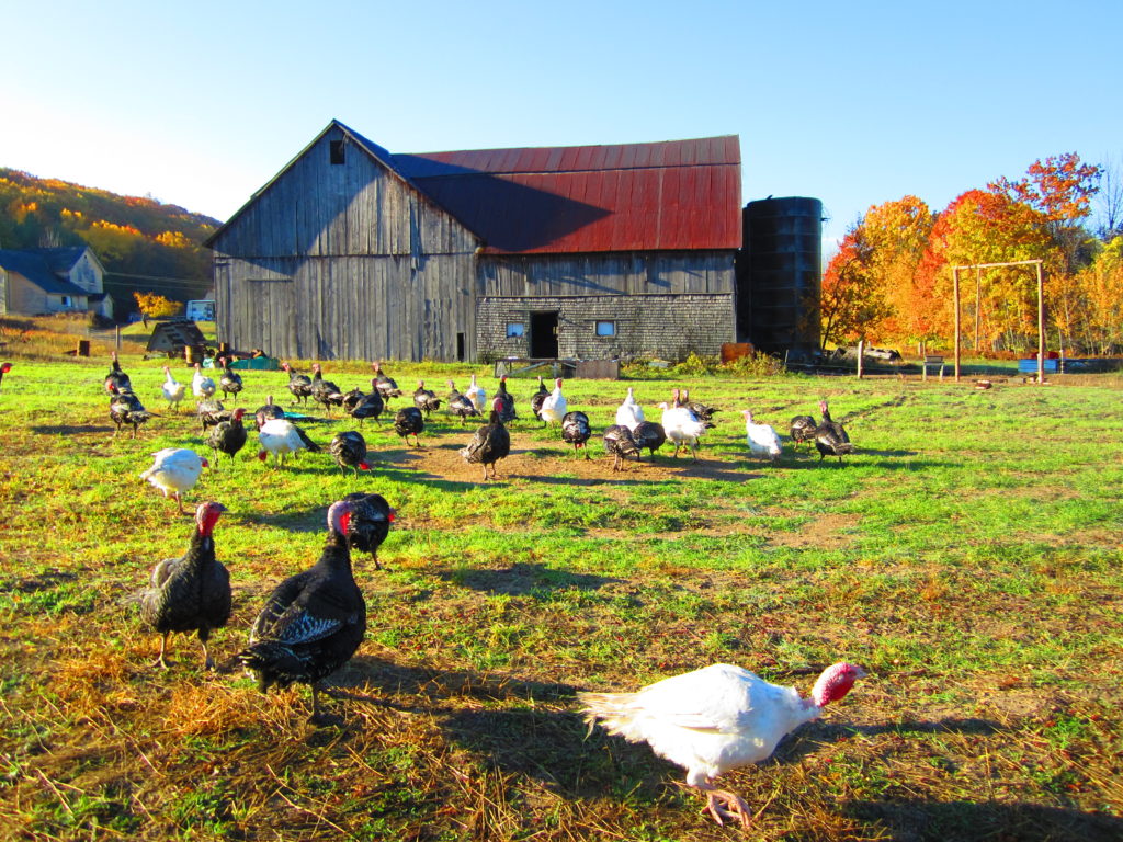
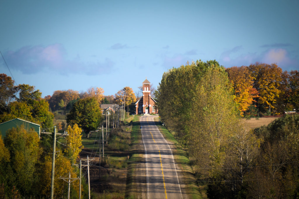
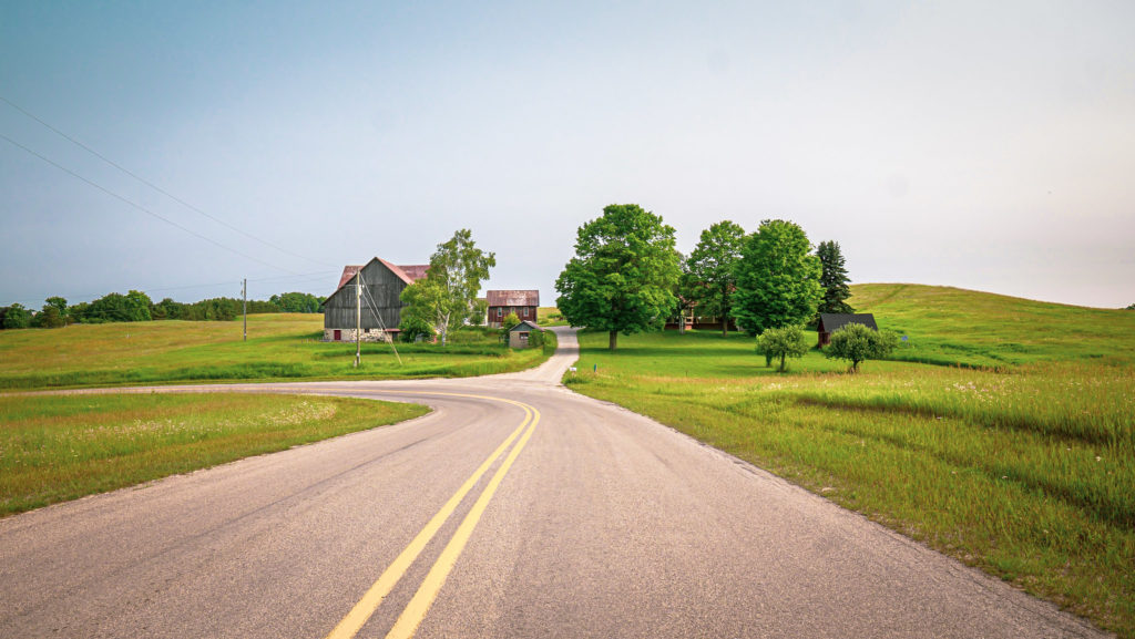
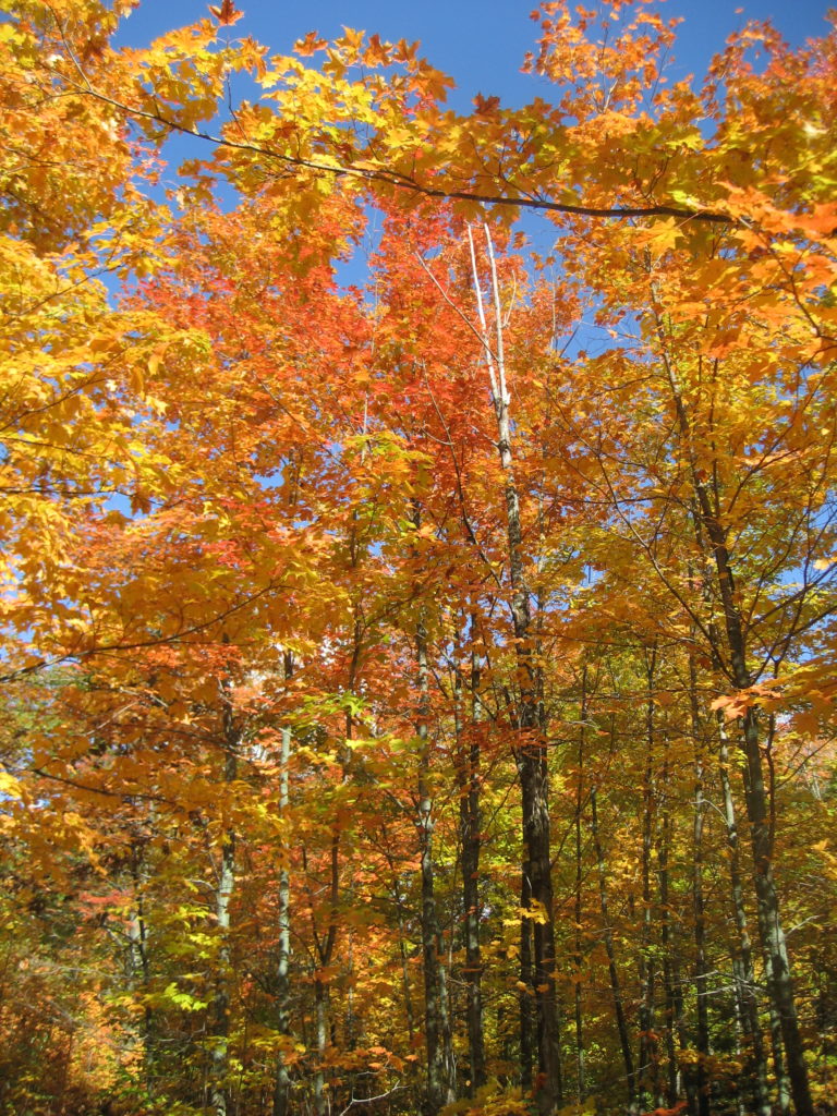
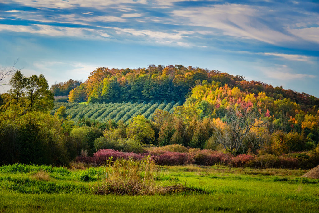
Did you know that many of the beautiful fall views you see while driving around Leelanau are other corridors of natural and agricultural land in our County that have been protected through private conservation easements with the Leelanau Conservancy?
Private conservation easements are a way for landowners to ensure that their land, which remains in private ownership, will never become developed. While land with a private conservation easement is not open to the public, there are many beautiful corridors that you can view on a drive through the County. This permanent land protection is possible thanks to the generous support of community members like you.
Tour #1: Southwest Leelanau Driving Loop
51 miles / 1.5 Hours Driving Time / + time for stops and hikes
Link to Google Map: https://goo.gl/maps/f4iSWEFc8buEhZMe9
We recommend downloading / printing these directions prior to starting your drive, as many parts of Leelanau have limited or no cell service. And, having a map in the car is always a good idea! Enjoy your Leelanau adventure!
Overview:
This route will take you through the Southwest area of Leelanau, from Chippewa Run Natural area just north of Empire–traveling through part of the National Lakeshore with views of privately protected lands with Conservation Easements–to multiple Leelanau Conservancy Natural Areas where you have the opportunity to get out and stretch your legs for a hike or bike at Palmer Woods, hike at Krumweide Forest Reserve, or Swanson Preserve. Then travel south to the town of Cedar and the Cedar River Preserve, looping back west through Maple City and Glen Arbor to finish in Empire via M22. Fuel stations are available in Empire, Cedar, Maple City and Glen Arbor.
Stops along the way: (Look for our Leelanau Conservancy signs for places to explore)
Chippewa Run Natural Area – Hiking trails on both sides of M22 show this diverse landscape.
Inspiration Point – Overlook on Big Glen Lake, part of Sleeping Bear Dunes National Lakeshore
Palmer Woods Forest Reserve– Great hiking and Mountain Biking in our largest Natural Area
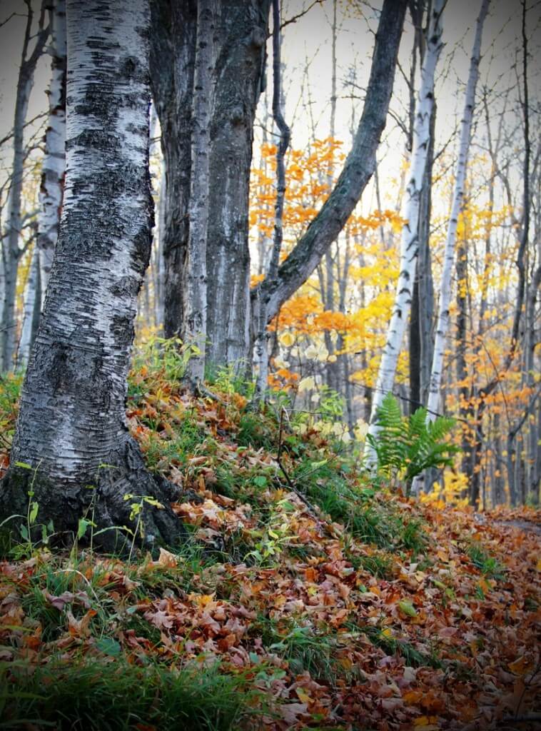
Krumwiede Forest Reserve– A hiking trail through a dense, varied forest with spectacular fall color
Swanson Preserve– A varied landscape with a short hiking trail out to the edge of Little Traverse Lake
Sonny Swanson Farm Stand– Small farm stand on privately protected land. (Conservation Easement = Private property) The cookies & veggies are amazing here! Maybe pick something up for dinner?
Cedar River Preserve– Just north of the Village of Cedar is the river access to the Cedar River Preserve, a fantastic place to kayak or canoe. Cedar River flows into the South end of Lake Leelanau, paddle length is 4-5 miles round trip. Water is slow-moving.
Stop by and say hello to our Friends at Blue Moon Ice Cream in Cedar for a little pick-me-up! Also on the corner of the main intersection is a fruit stand.
In Glen Arbor, friends of the Conservancy serve up some great treats & eats! Cherry Republic and Art’s Tavern can make it-to go or dine-in, or stop by Anderson’s Market for dinner supplies and an extensive selection of local wines and beers.
*For more details on the Natural Areas and Forest Reserves, please visit our leelanauconservancy.org/explore or arrange to pick up a Natural Areas Guide from our Leland Office. (Limited hours due to Covid- call ahead 231-256-9665.)
* Please remember that lands with Conservation Easements are private property. Our Natural Areas with Leelanau Conservancy signs and trail maps are areas where you may hike and recreate.
Tour #2: Southeast Leelanau Driving Loop
35 miles / 48 Minutes Driving Time / + time for stops and hikes
Link to Google Map: https://goo.gl/maps/FibPVhA75cfCL4Xj6
We recommend downloading / printing these directions prior to starting your drive, as many parts of Leelanau have limited or no cell service. And, having a map in the car is always a good idea! Enjoy your Leelanau adventure!
Overview:
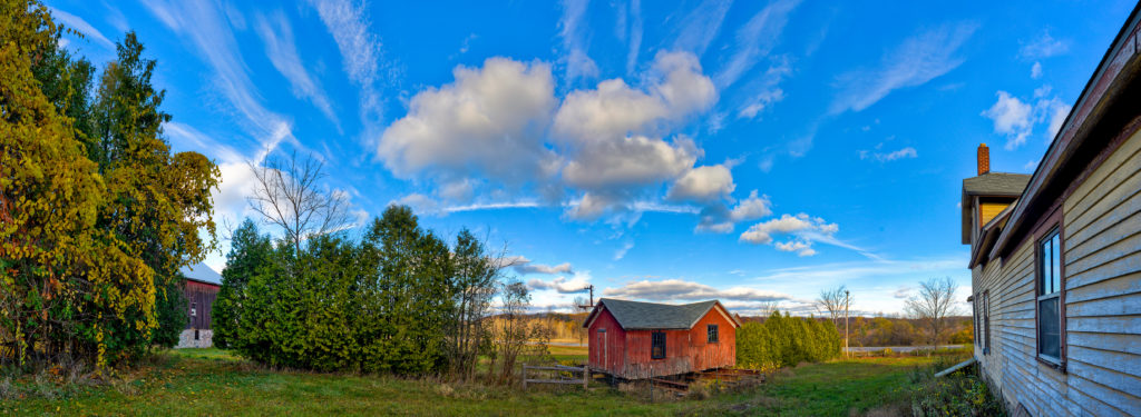
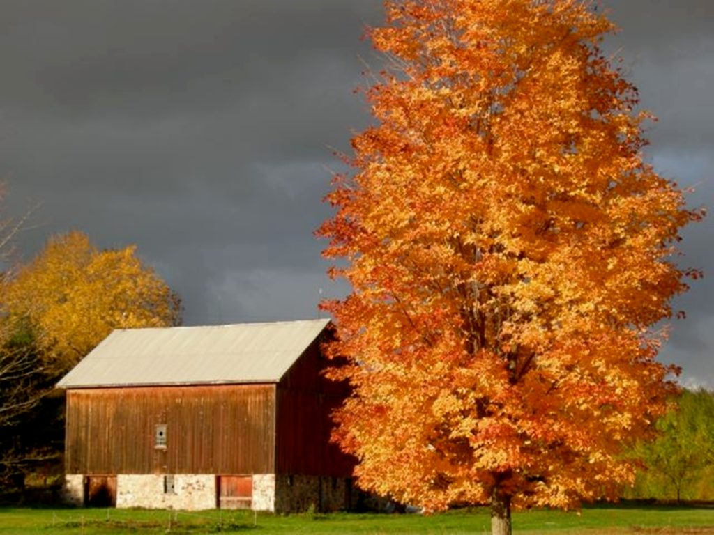
Start in the SE area of Leelanau at DeYoung Natural Area, where you can explore a historic farmstead with barns and outbuildings, or take the short walk down to the protected shores of Cedar Lake. After your hike, consider a refreshment pitstop at the nearby (protected) Brengman Brothers VIneyard. Traveling north, Center Highway will take you through the heart of central Leelanau, and you will pass through 630 acres of lands protected with private conservation easements, forever protecting the views you see. On your way to Sutton’s Bay, visit the protected Mawby Vineyard, or stop by Stites Natural Area, then head to M204 and circle back down along the shore of Lake Leelanau finishing back at DeYoung.
Stops along the way:
DeYoung Natural Area– a 160 acre preserve in partnership with Elmwood Township.
Brengman Brothers Winery–Experience great wines made from sustainable vineyard practices. The vineyard is also protected with a conservation easement.
Ruby Ellen Farm–Established in 1865, still a working farm with hiking trails.
Mawby Vineyards– Our friends at Mawby create some of the region’s finest sparkling wines. Call ahead for a reservation to stop by for a taste, and enjoy the views.
Stites Natural Area – Our newest natural area, located within walking distance of the village of Suttons Bay with a short hiking trail through a northern hardwood forest.
9 Bean Rows– Be sure to stop by for the best pastries in the county, various breads, and wood-fired pizza along with some of the largest gourds and pumpkins around!
Veronica Valley Park – A 92 acre County Park adjacent to Mebert Creek Preserve (no access from the road) these wetland areas support the health of the Lake Leelanau watershed.
Farm Club– A farm, restaurant, brewery, bakery and marketplace with a socially-distanced outdoor seating area and firepits to take in the spectacular Leelanau landscape.
*For more details on the Natural Areas and Forest Reserves, please visit our website or pick up a Natural Areas Guide from our Leland Office. (Limited hours due to Covid)
* Please remember that lands with Conservation Easements are private property. Our Natural Areas with Leelanau Conservancy signs and trail maps are areas where you may hike and recreate.
Tour #3: Northern Leelanau Driving Loop
46 miles / 1 hour, 15 Minutes Driving Time / + time for stops and hikes
Link to Google Map: https://goo.gl/maps/pfSdXkoQEAdXxqSQA
We recommend downloading / printing these directions prior to starting your drive, as many parts of Leelanau have limited or no cell service. And, having a map in the car is always a good idea! Enjoy your Leelanau adventure!
Overview:
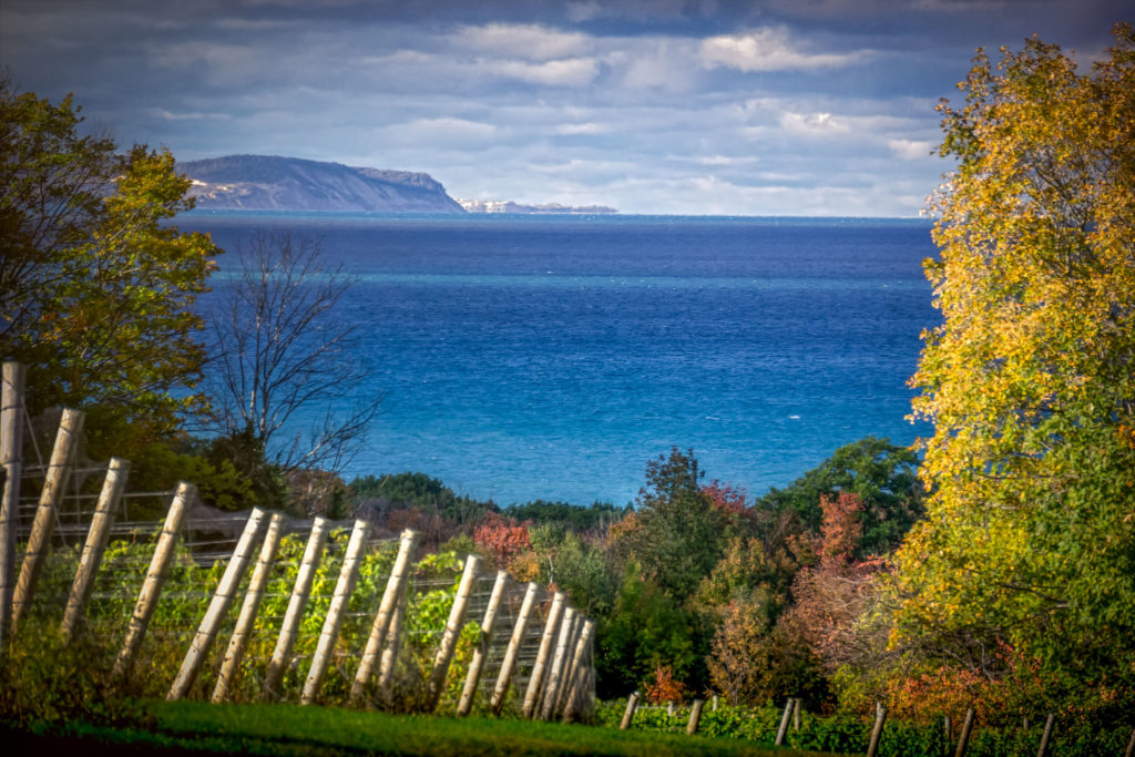
Starting in the Village of Leland stop by Hall Beach Preserve to take in the views of Leland Harbor and Lake Michigan, stop and fuel up at one of the many restaurants and continue North on M22 to Clay Cliff Natural Area. Heading inland to the central area of the peninsula will take you by a historic church, preserved farmland and vineyards, and high elevation views. Peterson Park on Lake Michigan, Kehl Lake Natural Area and the shoreline of West Grand Traverse Bay await you on your route circling back through wine country and the village of Lake Leelanau.
Stops along the way:
Hall Beach Preserve – A slice of heaven right in town, immediately south of the Leland Harbor, adjacent to Van’s Beach.
Leland Restaurant Suggestions – Trish’s Dishes for coffee, sandwiches & soups, The Bluebird Restaurant, and the Leland Lodge for pub-style fare – all have outside seating.
St. Wenceslaus– A historic church dating back to 1890.
Clay Cliffs Natural Area– A 1.5 mile hiking trail leads to a breathtaking view 200 feet above Lake Michigan, circling back through a meadow with view of Lake Leelanau and preserved farmland on the hills beyond. This Natural Area protects 1,700 feet of shoreline on both Lake Leelanau and Lake Michigan.
Peterson Park– Great views of Lake Michigan and rock hunting.
Kehl Lake Natural Area– Hike near the lake and explore our newly updated boardwalk and viewing platform.
Baia Estate Wines and New Bohemian Café – grab a bite to eat, espresso or a bottle of Leelanau wine to take home.
Tandem Ciders– Longtime supporters and friends of the Conservancy, making great cider from local apples.
Lake Leelanau Narrows– As you travel the bridge in the village of Lake Leelanau, notice on the North East side of the bridge is the Narrows Natural Area that has 2,350 feet of protected shoreline and over 120 plant species in this wetland that is best viewed by boat. (No trails).
Whaleback Natural Area– Just south of Leland, the 1 mile, hilly trail of Whaleback leads you to spectacular views of Lake Michigan.
* Please remember that lands with Conservation Easements are private property. Our Natural Areas with Leelanau Conservancy signs and trail maps are areas where you may hike and recreate.
